Egypt Data
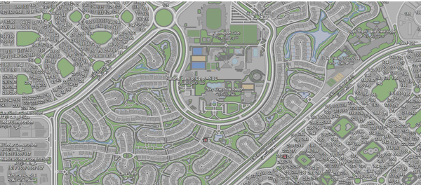
Digital Egypt has a wide range of GIS mapping data, including Administrative Boundaries, Geocoded Points and Polygons for residential and landmark buildings.
Morocco Data
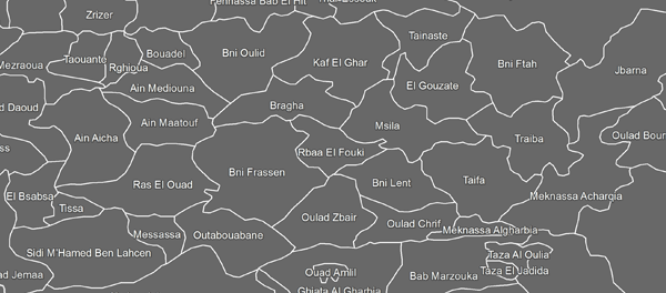
GIS data in Morocco include all administrative boundaries, Geocoded Points and Polygons for residential and landmark buildings.
Nigeria Data
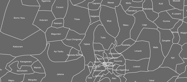
Available GIS data in Nigeria include all Administrative Boundaries, which include States, LGAs and Wards.
Tunis Data
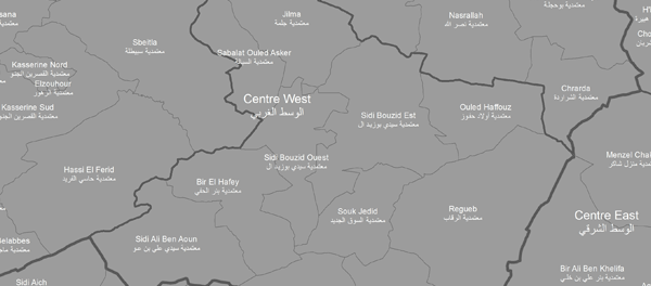
GIS data in Tunis include all administrative boundaries, Geocoded Points and Polygons for residential and landmark buildings.
Kenya Data
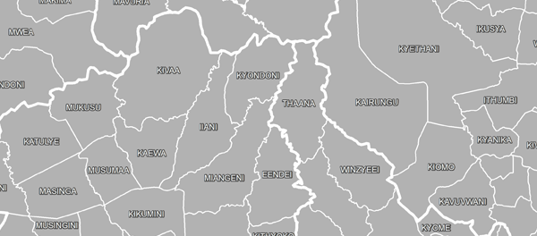
GIS data in Kenya include all administrative boundaries, Geocoded Points and Polygons for residential and landmark buildings.
